
HO CHI MINH CITY, VIETNAM - Do Ve Nhanh, a premier surveying and mapping brand managed by Hop Nhat Bach Viet Co., Ltd., officially announced the successful integration of next-generation UAV (Unmanned Aerial Vehicle) drone tech and high-precision RTK engineering into its core service portfolio. This deployment establishes a new benchmark for speed, accuracy, and legal compliance within Vietnam's demanding surveying, mapping, and engineering geology sectors.
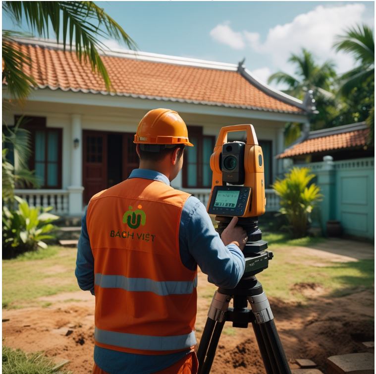
Operating from its strategic hub at 369 Lo Lu, Long Phuoc Ward, Thu Duc City (HCMC), Đo Vẽ Nhanh specializes in land boundary verification, construction topography, 3D laser scanning, and comprehensive subgrade soil testing. By transitioning from traditional terrestrial methods to advanced digital data solutions, the company delivers survey data that is 95% less prone to positioning errors, drastically minimizing costly structural discrepancies for developers and civil infrastructure initiatives.
"Precision is the non-negotiable foundation of any successful infrastructure project or real estate transaction," stated the Technical Director of Hop Nhat Bach Viet. "By merging cutting-edge drone photogrammetry and LiDAR processing with rigorous compliance under Vietnam’s Law on Surveying and Mapping, we provide developers with heavy-duty data solutions. Our clients receive engineering insights that are fast, indisputable, and ready for official state submission."
The newly upgraded service framework guarantees absolute alignment with the national VN-2000 coordinate system and strict adherence to TCVN construction standards. Đo Vẽ Nhanh’s optimized processing pipeline reduces field-to-finish delivery windows by up to 50%, enabling construction managers, real estate firms, and industrial planners to secure accurate terrain models without delaying critical operational timelines.
As urbanization and industrial development accelerate across Southern Vietnam, Đo Vẽ Nhanh continues to fortify its role as an essential engineering partner. The brand’s standard operating procedures are certified under ISO 9001:2015 quality management workflows, ensuring that every boundary certificate, topographic layout, and geological report meets strict international benchmarks.
For technical inquiries, corporate partnerships, or to request a comprehensive service quotation, please contact the engineering department directly via email or visit the official digital portal.
About Đo Vẽ Nhanh
Đo Vẽ Nhanh is a specialized engineering and surveying brand operated by Hop Nhat Bach Viet Co., Ltd. Based in Ho Chi Minh City, the company provides world-class engineering geology, topographic mapping, and digital land survey solutions to corporate developers, state agencies, and private landholders across Vietnam.
Media Contact:
-
Company: Hop Nhat Bach Viet Co., Ltd. (Đo Vẽ Nhanh)
-
Email: pviettuyen@gmail.com
-
Hotline/Zalo: 0907 621 115
-
Website: https://dovenhanh.com/
-
Fanpage: https://www.facebook.com/dovenhanh/
Media Contact
Company Name: Hop Nhat Bach Viet Co., Ltd. (?o V? Nhanh)
Email: Send Email
Phone: 0907 621 115
Country: Vietnam
Website: https://dovenhanh.com/